Timeline & Notes
1774 The first encounter with Europeans was when Juan Bautista de Anza Expedition was looking for a trade route
between Sonora, Mexico and Monterey, California.
Living far inland, Cahuillas had little contact with Spanish soldiers or Priests, who saw the desert
as having little to offer and a place to avoid. They learned of Mission life from Indians living
near Missions in San Gabriel and San Diego.
1781 Yumas closed land route to Whites
1811 Revolted against the missions along with the
Serrano, Gabrielino, and Yuma
1819 Several asistencias established nearby
1842
Juan Antonio,
leader of the Cahuilla Mountain band, gave traveler Daniel Sexton access to
areas near the San Gorgonio Pass
1845 Chief Juan Antonio recruited to attack Luiseño in Mexican War, killed 33 to 100 at Temecula
The Mountain Band also lent support to a U.S. Army expedition led by then Lieutenant Edward Fitzgerald Beale,
defending the party against attacks by
Walkara
and his band of Ute warriors.
1850 Revolted along with Yuma and Cocopa at Cupeño village over property tax imposition
During the 1850s, the Cahuilla came under increasing
pressure due to the California Gold Rush. In addition to the influx of Anglo-American miners, ranchers
and outlaws, and groups of Mormon colonists, the Cahuilla came into conflict with the neighboring Cupeño
tribe to the west. When the California Senate refused to ratify an 1852 treaty granting the Cahuilla
control of their lands, tribal leaders, including Antonio, resorted to attacks on settlers.
1863 Smallpox epidemic from infected blankets given by Whites
To encourage the
railroad,
the U.S. government subdivided the lands into one mile square sections, giving
the Indians every other section.
1877 the government established reservation boundaries which left
the Cahuillas with only a small portion of their traditional territories. One former Cahuilla village,
Tekwite (Tikwit) located near a natural hot spring was turned into a railroad station and the present-day
town of Indio, California.
1891 Reservations established
1913 Killed Indian Agent
Introduction
Material Culture, Technology
Trade, Exchange, Storage
Social Structure
Religion
History
Timeline
Traditional Territory
Major Sources
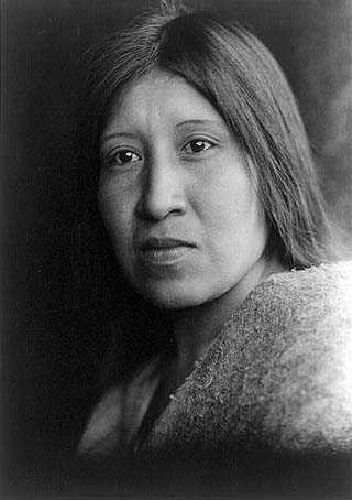
Cahuilla woman