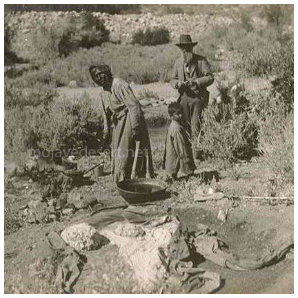
Western Mono
The Western Mono territory comprises the western slope of the Sierra from the summit of the watershed to the
lower country where they adjoined the foothill Yokuts, and between the Fresno and Tule Rivers. (For type, see
Gayton, 1929-a, plates) The northern side of the Kaweah River was occupied by the Waksachi band, the southern
side, by the Balwisha (Patwisha) band. Most of the season was naturally spent in the lower hills, as the
high Sierra are accessible only in the summer.
Linguistically, they are close to the
Owens Valley Paiute,
varying from them chiefly as a dialect. This
implies an ultimate eastern origin, indicating that they, like the
Tubatulabal,
are simply a
Shoshonean people
who, at some time in the past, pushed across the crest of the Sierra.
The Western Mono formerly probably numbered about 2,000; today they have about half that number. Like other
remotely located tribes in California, their population has suffered less from the inroads of civilization
than that of the formerly far more numerous but accessible peoples, such as the
Yokuts.
Very little information is available on the Western Mono near Sequoia Park, except that contained in
Gayton, 1929, 1930-a and 1930-b. The Northfork Mono, farther to the north, have been rather completely
described in Gifford, 1932. The remaining Western Mono will be fully described when Gayton's researches
are published.
Combined Ethnography
Introduction & OverviewTribal Distributions
Subsistence
Weapons, Houses, Clothing
Pottery
Basketry
Cradles
Other Weaving
Musical Instruments & Misc.
Tobacco
Transportation
Trade
Games
Social Organization
Money
Other Social Customs
Ceremonialism
Archaeology
Bibliography
David Earl - California State Parks
Antelope Valley Indian Museum