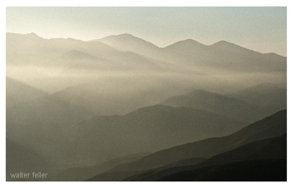
Digital-Desert : Mojave Desert Photography by Walter Feller
Mojave Desert Photos for Sale
features - ecology: wildlife - plants - places - region map - map/sat - roads & trails - wilderness - video - aerial - 360 photos - old west - communities - books - lodging
route 66 - ghost towns - gold mines - parks & ... - joshua tree - death valley - mojave preserve - native culture - history - natural features - geology - glossary - comments
Desert & Mountain
Fine Art Photo Prints

Spanish Explorers : Garces - Crossing the Mojave

Over the Sierra

p 246
course to the south and entered into a Canada 20 of much wood, grass, and water; I saw many cottonwoods, alders, oaks, very tall firs, and beautiful junipers (sabinos); and having gone one league I arrived at a rancheria of about 80 souls, which I named (Rancheria) de San Benito. I was received with great joy, and they made me the same obeisance.

Mar. 22. I went three leagues and passed over the sierra by the southsouthwest.21 The woods that I said yesterday reach to the summit of this sierra, whence I saw clearly the sea, the Rio de Santa Anna,

river, with considerable easting as said, passed Huntington's on the river, and then through Bear or Holcomb valley rounded up to the mountains directly north of the San Bernardino valley, and crossed them by the well-known trail into this valley. See notes following.

20 This Canada is the pass through which Garces crossed the mountains, between the San Gabriel and the San Bernardino ranges, from Holcomb's valley into the beautiful one which became the site of the present city of San Bernardino. He is tracing the Mojave river up to its very source, near which is the rancheria he calls San Benito. See last and next notes.

21 Into the San Bernardino valley, which is Garces' Valle de San Joseph, on the upper reaches of his Rio de Santa Anna, which is the present name of this river, commonly in the form Santa Ana. This rises in the San Bernardino mts., runs through the valley just said, and takes a mean S. W. course to the sea at Newport, under Point Lasuen. Garces is about to fall upon the trail of the main expedition, and the names he uses for the river and valley are easily identified by this: see note for Mar. 23.

Previous < Contents > Next

San Bernardino National Forest

    Serrano Indians

    The territory of the Serrano included the entire San Bernardino range of mountains, west into the San Gabriel mountains to North Baldy (Mt Baden-Powell), south across the San Bernardino Valley and eastward to near 29 Palms and the Oasis of Mara.

    San Gorgonio Mountains

    Live oak chaparral shrublands, and Mixed chaparral shrublands at lower elevations and on south-facing slopes; Ponderosa pine series and Mixed conifer series at higher elevations;

    Upper San Gorgonio Mountains

    The predominant natural plant community is Ponderosa pine series. There are small areas of Coulter pine series, ...
features - ecology: wildlife - plants - places - region map - map/sat - roads & trails - wilderness - video - aerial - 360 photos - old west - communities - books - lodging
route 66 - ghost towns - gold mines - parks & ... - joshua tree - death valley - mojave preserve - native culture - history - natural features - geology - glossary - comments
SkiWrightwood
Southern California Ski Reports

Wrightwood California
A year-round mountain community
HighDesertRED.com
High Desert Real Estate Directory
--
Google
Search:
Keywords:
Check out our...
>> RECOMMENDED BOOK LISTS <<
Digital-Desert
Abraxas Engineering
privacy
Copyright ©Walter Feller. All rights reserved.
Respect U.S and international copyright statutes and our right to own and control our work
- DO NOT LINK TO THESE IMAGES FROM WEB PAGES, FORUMS OR BLOGS -
Desert Gazette
215