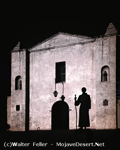
Arrival at the San Gabriel Mission
p 248|
I followed at a good gait (a paso largo) till nightfall; and having gone eight leagues in this direction and to the northwest, I halted [on Rio de San Gabriel, at or near a place now called El Monte].
Mar. 24. At two leagues westnorthwest I arrived at the mission of San Gabriel,28 where I was received by the padres with great kindness, and had the special pleasure to have arrived on the day on which my seraphic religion celebrates the Santo Principe; to |
7 full leagues N. W. *4 W., with some turns N., to the Arroyo de San Joseph, where ended the canada which had been followed; mark " 57." Dec. 29, the crystalline water of the Arroyo de San Joseph, from the Sierra Nevada, was so beautiful that they called the gorge down which it ran the Canada del Paraiso (Paradise), and thence it flowed through the Valle de San Joseph; route 5 leagues W. N. W. from Arroyo de San Joseph into Valle de San Joseph at foot of a hill; mark " 58." Dec. 31,
8 leagues W. N. W. in the valley to Rio de Santa Ana; mark "59." Here the expedition is at or near modern San Bernardino. (Observe that Font's other map, of 1777, connects Rio de Santa Ana with R. de los Martires or Mojave river, making the latter run to the Pacific—at least, such is the connection on the copy of the map in my hands; but there is no such blunder on the original Font map of 1776.) Jan. 1, 1776, remained. Jan. 2, 6 leagues W. N. W. to Arroyo de los Alisos; mark " 60." Jan. 3, some 6 leagues W. N. W. to an arroyo which joins another to form the Rio de San Gabriel; mark " 61." This seems to have been at the place now known as El Monte; wherever it was, Garces camps there this night of Mar. 23, for he gets into the mission to-morrow at a couple of leagues, just as Font does Jan. 4; camp mark "62," and big letter "B" of his maps.
Previous < Contents
