Sierra de Santa Coleta
p 236|
Mar. 5. 5 Departing by the northwest I traveled eight leagues west one quarter westsouthwest, on a road level and grassy, and halted at some wells of excellent but little abundant water. Sebastian said that two mule-trains could drink.] Mar. 6. I traveled five leagues west and three west- southwest, through land level and grassy. I arrived at a sierra that has pines, though small ones, and I named it (Sierra) de Santa Coleta.6 The aguage, |
sandy or rocky. But it appears that Garces did not go exactly this way. He started west from the river below Fort Mojave, and took an Indian trail that runs approx. parallel with, but a few miles S. of, the main wagon road I was on, joining the latter further on.
5 No entry for Mar. 5 in our copy, by continued scribal omission, which I supply in brackets; for both the Beaumont MS. and the pub. Doc. give an 8-league journey between San Casimiro wells and another day's journey to.camp on the 6th. I have no doubt this is correct, as this interpolation adjusts Garces' camps well with what I know of the route he is on. March 5, therefore, we send Garces eight leagues west 54 westsouthwest to some nameless wells. These should be found on Pahute or Piute wash, at a point a few miles S. of the well-known Piute springs of my last note.
6 When I traveled the main road on Oct. 31, 1865, from Piute springs it was 20 miles to Rock springs, where I found no water and went two miles further to water at what were called Government holes in those days; total, 22 miles. Now Garces is coming along his trail but little south of my road, and nearly parallel therewith. His eight leagues to-day, nearly west, takes him on to the Sierra de Santa Coleta, in which range he finds
Previous < Contents > Next
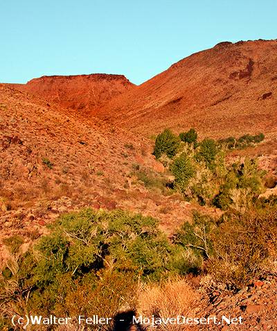
Paiute Springs/Creek (Ft. Pah-ute)