Pozos de San Casimiro
p 235| Mar. 4, on which was made the observation noted on the 3d day. I departed, accompanied by three Jamajab Indians and by Sevastian, on a course southwest, and in two leagues and a half arrived at some wells [which I named Pozos de San Casimiro.4 There is some grass. |
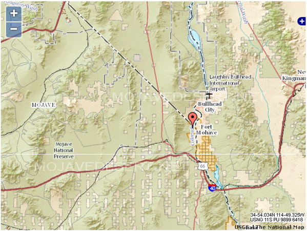
around a bend of the river, and take his 35° O1' at its face value, as a mile above the point where the Nevada boundary line strikes the Colorado at 35°. This sets his San Pedro de los Jamajabs nearly opposite the well-known site of Fort Mojave. This military post was built in 1858 on a bluff on the left bank of the river, lat. about 35° 03', and some five miles below Hardy. The Mojaves and other Indians were then hostile; but they were defeated in battle by troops under Capt. and Bvt. Major Lewis A. Armistead of the 6th Infantry (who soon afterward joined the C. S. A. and was killed at Gettysburg July 3, 1863], and thereafter gave no trouble. The fort was abandoned May, 1861, but reoccupied the same month of 1863 by two companies of the 4th California volunteers. The military reservation, established by Executive Order of Mar. 30, 1870, was turned over to the Interior Department by President Harrison, Sept. 19, 1890, under A. of C. approved July 31, 1882.
' Lacuna here in our copy, by fault of the scribe. I bracket the required matter from the Beaumont MS. and 1he pub. Doc., both of which name these wells: see also beyond, p. 308. When I ferried across the river from Fort Mojave, Oct. 30, 1865, I went 3 miles to some water called Beaver lake; whence it was 22 miles to Piute springs, the usual first camp out from the fort. The road was fair, though mostly up and down hill, and either
Previous < Contents > Next
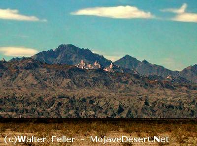
Spirit Mountain (Avi kwa me) as viewed from Fort Mojave, Nevada