Mojave River
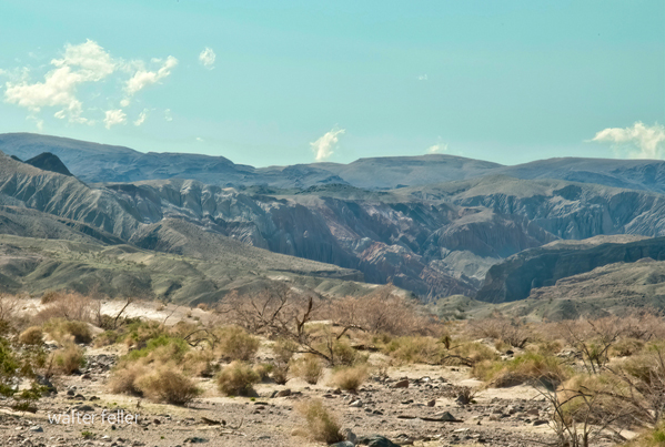
Mouth of Afton Canyon
The next day W S W 8 or 10 miles across a plain and entered
the dry Bed of a River on each side high hills. Pursuing my course along the
valley of this river 8 or 9 miles I encamped. In the channel of the river I
occasionally found water. It runs from west to east alternately running on the
surface and disappearing entirely in the sands of its bed leaving them for
miles entirely dry. near the place where I entered its Bed it seemed to finally
lose itself in the plain.* (* It is perhaps reasonable to suppose that the Salt
Plain has been formed by the waters of this river overflowing the level country
in its freshets and in the dry season sinking in the sand and Leaving a deposit
of salt on the surface. The waters of the River at this place are sufficiently
salt to justify this conclusion.) At this time my provision was nearly
exhausted although I thought I had provided enough to last me 10 or 12 days.
But men accustomed to living on meat and at the same time travelling hard will Eat
a surprising quantity of corn and Beans which at this time constituted our
principal subsistence. One of my guides said he knew where his people had a
cache of some provision and the next day as I traveled on he went with one of
the men to procure some at night they returned bringing something that
resembled in appearance loaves of bread weighing each 8 or 10 pounds. It was so
hard that an ax was required to break it and in taste resembled Sugar Candy. It
was no doubt sugar but in that imperfect form in which it is found among
nations to which the art of granulation is unknown.
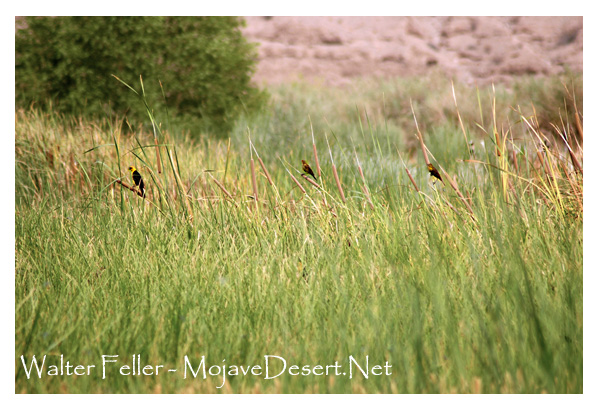
On enquiry I found it was
made from the cane grass which I have before spoken of on adams River and the
same of which the Amuchabas make their arrows. For three days nothing material occurred
Our course was up the River which sometimes run in sight and then for miles
disappeared in the sands. In places I found grass and the Sugar Cane and in
some places small Cotton wood. I also saw the tracks of horses that had been
here during the summer. My guides Belonged to a tribe of indians residing in
the vicinity called the wanyumas. not numerous for this barren country could
not support them. At this place was some sign of Antelope and Mt sheep Mr.
Rogers killed an Antelope which tasted quite strong of wormwood. On the 4th
night from the salt plain an Amuchaba indian that had come this far with me
disappeared. I suppose he had become tired of the journey and returned. My
guides had expected to find their families here but were disappointed.
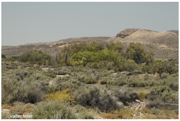
The next day still following the course of the River which had a strong current in places 20 yds in width and in others entirely disappeared in the sands. After a long days travel I arrived late at a wan yu ma Lodge. close by were 2 or three families of the same tribe. Here I remained the following day and in the mean time was well treated by these indians. They gave us such food as they had consisting of a kind of mush made of acrons and pine nuts bread made of a small berry. This bread in appearance was like corn bread but in taste much sweeter. As there were in the neighborhood a plenty of hares the Indians said they must give us a feast. Several went out for this purpose with a net 80 or 100 yards long. Arriving at a place where they knew them to be plenty the net was extended among the wormwood. then divided on each wing they moved in such direction as to force the frightened game to the net where they were taken while entangled in its meshes. Being out but a short time they brought in 2 or three doz a part of which they gave me. seeing some tracks of antelope Mr. Rogers and myself went out and killed 2. In this vicinity there are some groves of Cotton wood and in places Sugar Cane and grass. On the following day after making the indians some presents I moved on keeping a right hand fork my course nearly S W passing out at the head of this creek and over a ridge I entered a ravin running S W I proceeded down it nearly to where it entered some high hills which were apparently covered with pine. At this place I encamped. In the course of the days I passed hills covered with a scattering growth of Bastard Cedar and bushy Oak. Some antelopes were seen in the course of the day and the tracks of Bear and Black tailed Deer.
< Previous - Next >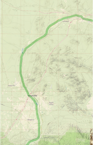
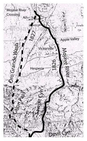
Map of Jedediah Smith's 1826 route along the Mojave River, and his 1827 route up the Oro Grande Wash from where the trail diverges.